

Sela Creek
A 7 km gold corridor on the Guiana greenstone belt — ~215 km², 70% earned with an option to 100%, drilled by a fully funded 25,000 m program.
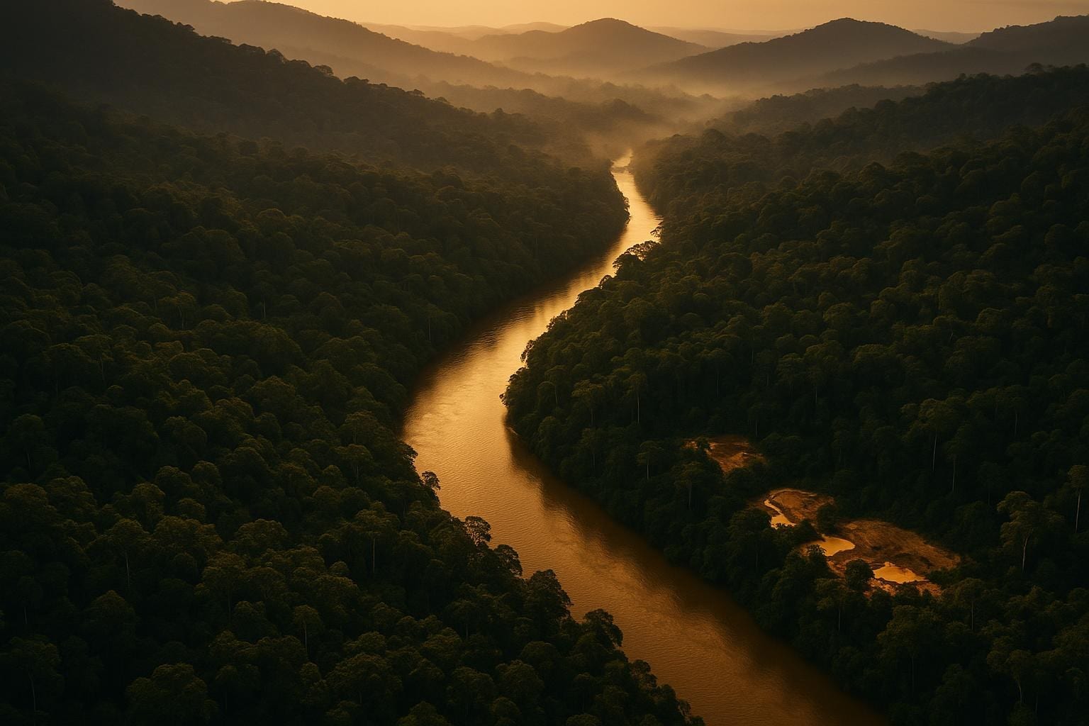
Sela Creek lies 235 km south of Paramaribo and ~10 km from Newmont's Merian mine. Alluvial and saprolite gold has been mined here since the 1920s across a 30 km² area, yet bedrock has barely been drilled — the opportunity Miata is testing across seven main targets.
Gold mineralization follows the Central Guiana Shield Shear Zone and a parallel splay — structurally controlled, orogenic gold in a greenstone belt weathered to laterite and saprolite up to 100 m deep, which mines and mills at low cost.
Path to full ownership.
Miata holds a 70% interest with an option to earn 100%.
Terms per the August 2024 earn-in agreement.
| Current interest | 70% |
|---|---|
| Earn-in to | 100% |
| Cash / work | On request |
| NSR retained | On request |
Seven along the corridor.
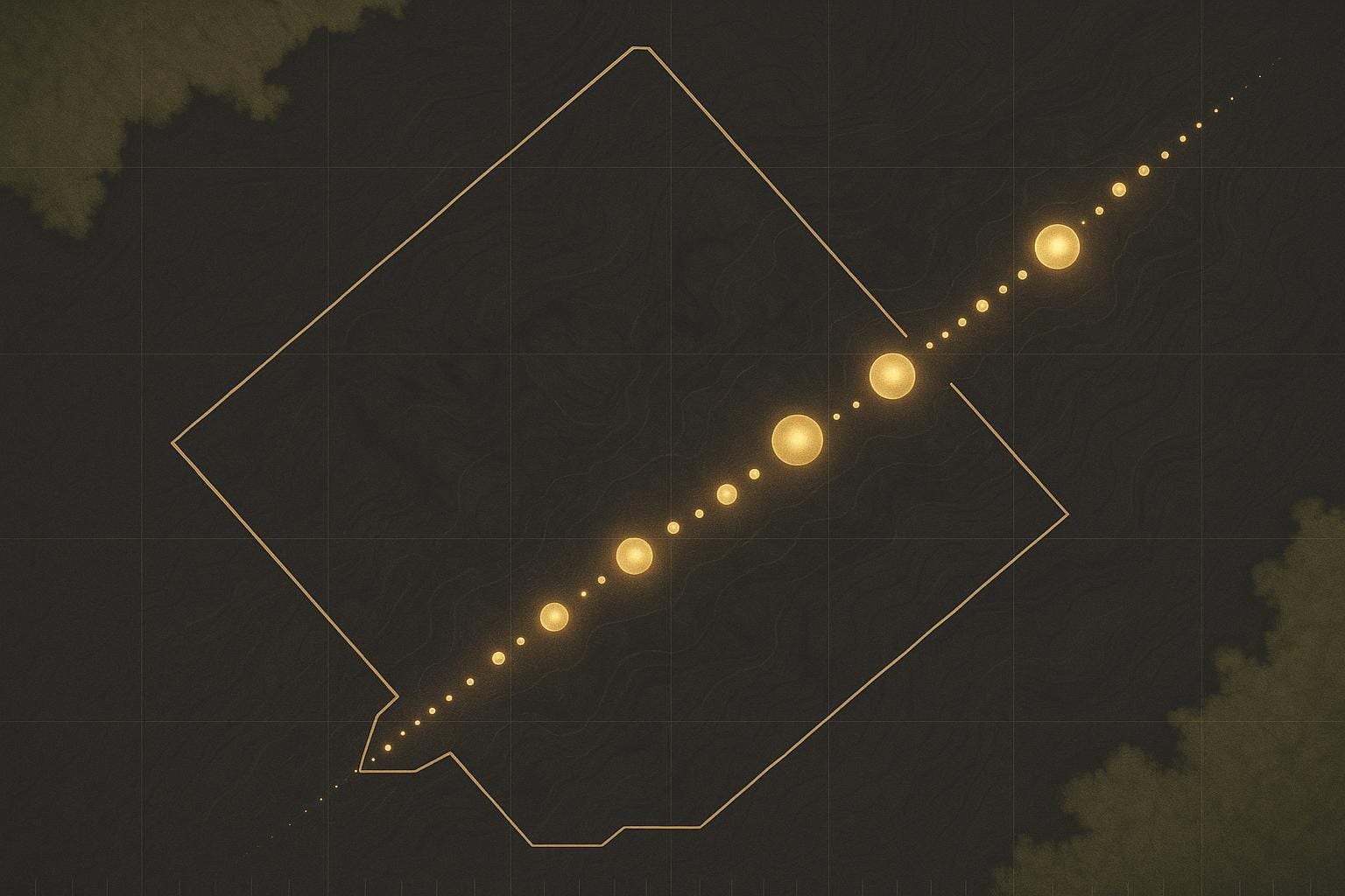
Two rigs are turning across the corridor, with current drilling concentrated at Jons, Puma, Big Berg and Golden Hand.
Broad widths, high-grade cores.
Significant intercepts as reported. Hole IDs and from–to depths are shown where disclosed in the cited releases; Jons Trend identifiers are pending compilation from the Jan/May 2026 releases.
Intervals reported at a 0.45 g/t Au cut-off over a 2.5 m minimum width with <5 m internal dilution; grades are uncut; true widths unknown.
Reporting parameters per the Big Berg release (24 Mar 2026).
| Target | Hole ID | From (m) | To (m) | Interval (m) | Au (g/t) | Au·m (g·m) | Source release |
|---|---|---|---|---|---|---|---|
| Big BergBest to date | 26DDH-BB-003 | 96 | 192 | 96.0 | 1.41 | 135 | Mar 2026 |
| Jons Trend | — | — | — | 63.0 | 1.44 | 91 | Jun 2026 |
| Jons Trend | — | — | — | 25.1 | 1.71 | 43 | May 2026 |
| Jons Trend(incl.) | — | — | — | 11.0 | 3.35 | 37 | May 2026 |
| Jons Trend | — | — | — | 22.7 | 2.23 | 51 | Jan 2026 |
| Jons Trend(incl.) | — | — | — | 4.3 | 12.49 | 54 | Jan 2026 |
Compiled significant-intercepts table and assay database available to analysts — info@miatametals.com
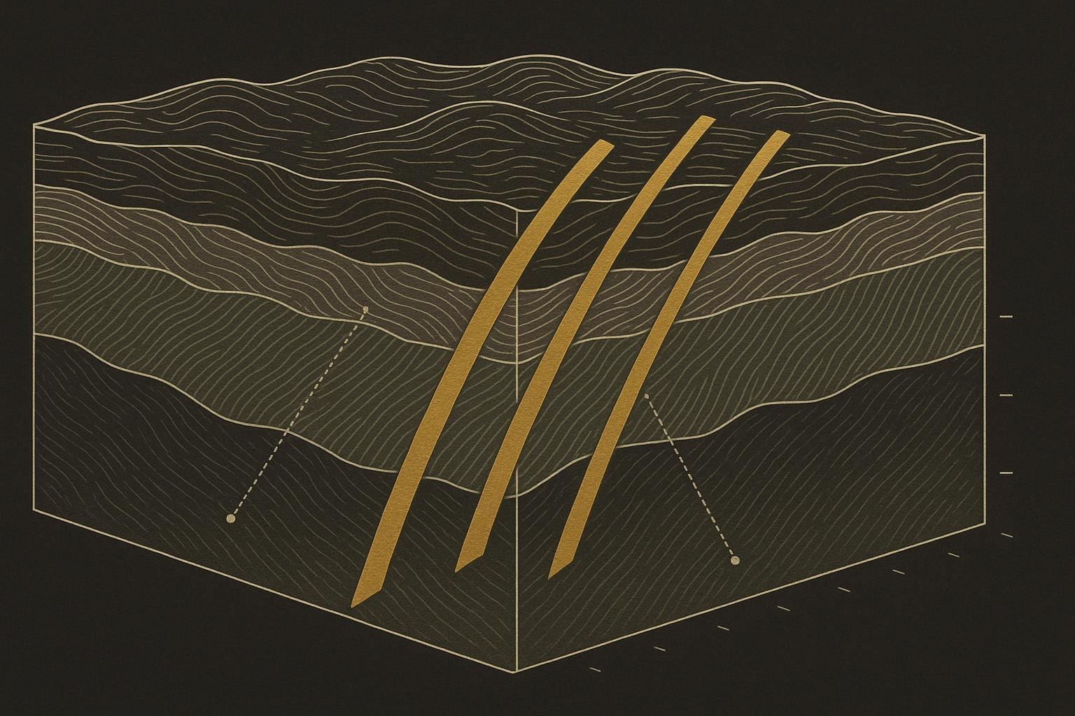
Cross-sections & long-section.
A 96 m intercept is read through geometry. The Big Berg release already publishes a long section through the discovery holes; the fences below place the headline intercept in section and along strike toward Jons Trend.
How these grades are verified.
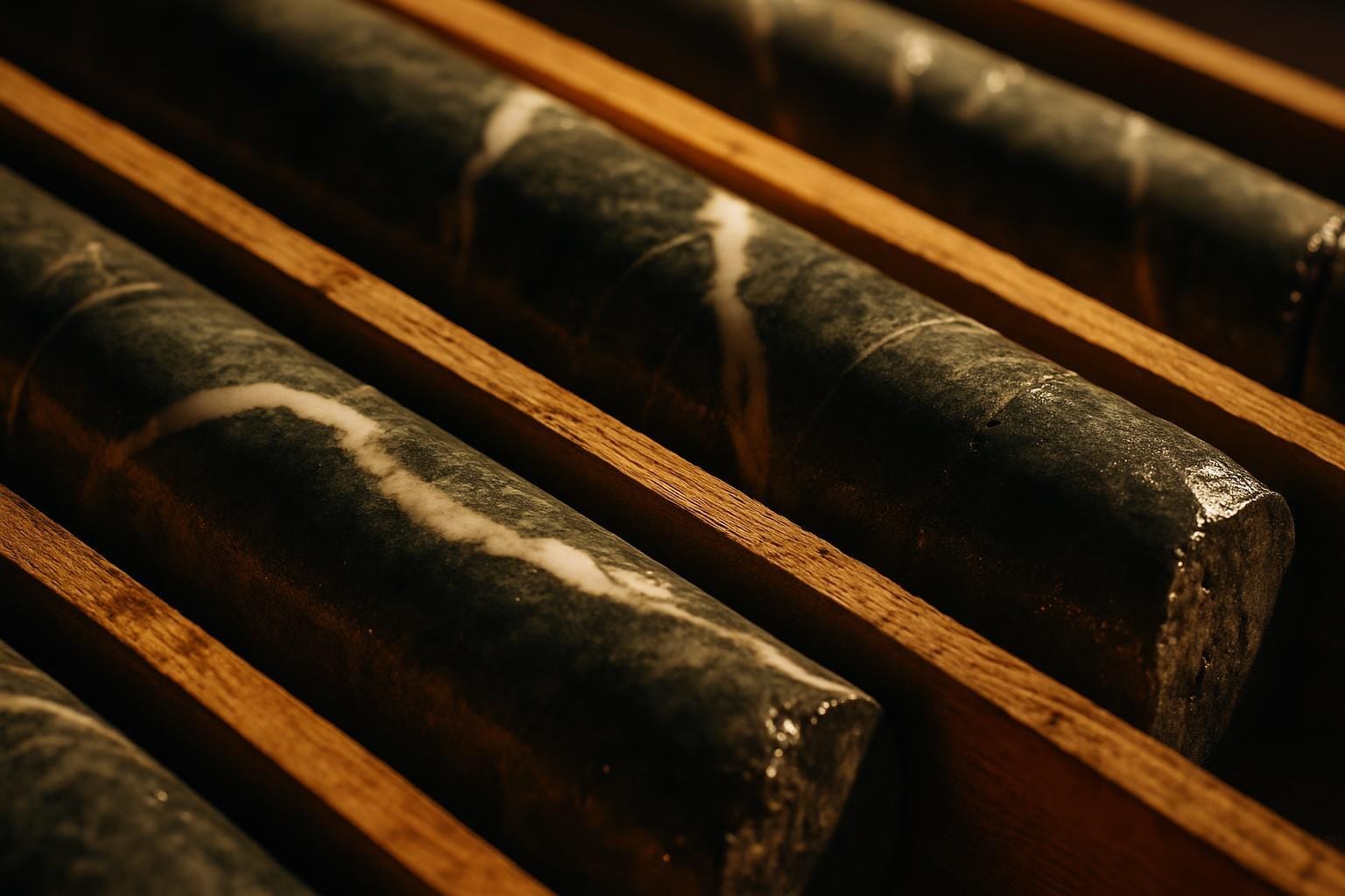
Drill core is analyzed for gold at FILAB Suriname, a commercial laboratory certified to ISO 9001:2015. Core is crushed and pulverized to 85% passing 88 µm, then assayed by 50 g fire assay with an AA finish. Samples over 5.0 g/t are re-assayed with a gravimetric finish; samples with coarse visible gold or over 10.0 g/t undergo metallic-screen analysis. Certified reference materials, blanks and ¼-core duplicates are inserted for quality control.
Per the Big Berg release (24 Mar 2026); see the NI 43-101 for the full protocol.
Scientific and technical information on this page has been reviewed and approved by Dr. Jaap (Jacob) Verbaas, P.Geo., CEO and a Qualified Person under NI 43-101. Miata has no current mineral resource or reserve estimate; the company is at the exploration stage. See the Sela Creek NI 43-101 for full data and QA/QC.
Reading the results
- Grade (g/t Au)
- Grams of gold per tonne of rock. A 1 g/t intercept holds one gram of gold in every tonne; higher numbers mean richer rock.
- Interval (downhole width)
- The length of mineralized rock measured along the drill hole — e.g. “96 m @ 1.41”. It is not necessarily the true thickness of the gold zone.
- True width
- The actual perpendicular thickness of the mineralized zone. Until the geometry is confirmed, true widths are reported as unknown and are typically narrower than downhole widths.
- Saprolite / orogenic gold
- Saprolite is deeply weathered, soft rock (up to ~100 m here) that is cheap to mine. Orogenic gold is structurally controlled mineralization formed along faults and shear zones in a greenstone belt.
Track the flagship as it drills.
Cautionary statements & forward-looking information
This page contains "forward-looking information" within the meaning of applicable Canadian securities laws, including statements about the drill program, target potential, the path to a 100% interest, and exploration plans at Sela Creek. Forward-looking information is based on assumptions and is subject to risks and uncertainties; actual results may differ materially. Miata undertakes no obligation to update such information except as required by law.
Drill intervals are reported as downhole widths; true widths are not yet known. Grab samples are selective by nature and are not necessarily representative of the mineralization on the property. Miata has no current mineral resource or reserve estimate and is at the exploration stage. References to nearby deposits and mines (e.g. Newmont's Merian mine) are not indicative of mineralization on Miata's properties.
Scientific and technical information has been reviewed and approved by Dr. Jaap (Jacob) Verbaas, P.Geo., CEO and a Qualified Person under NI 43-101.